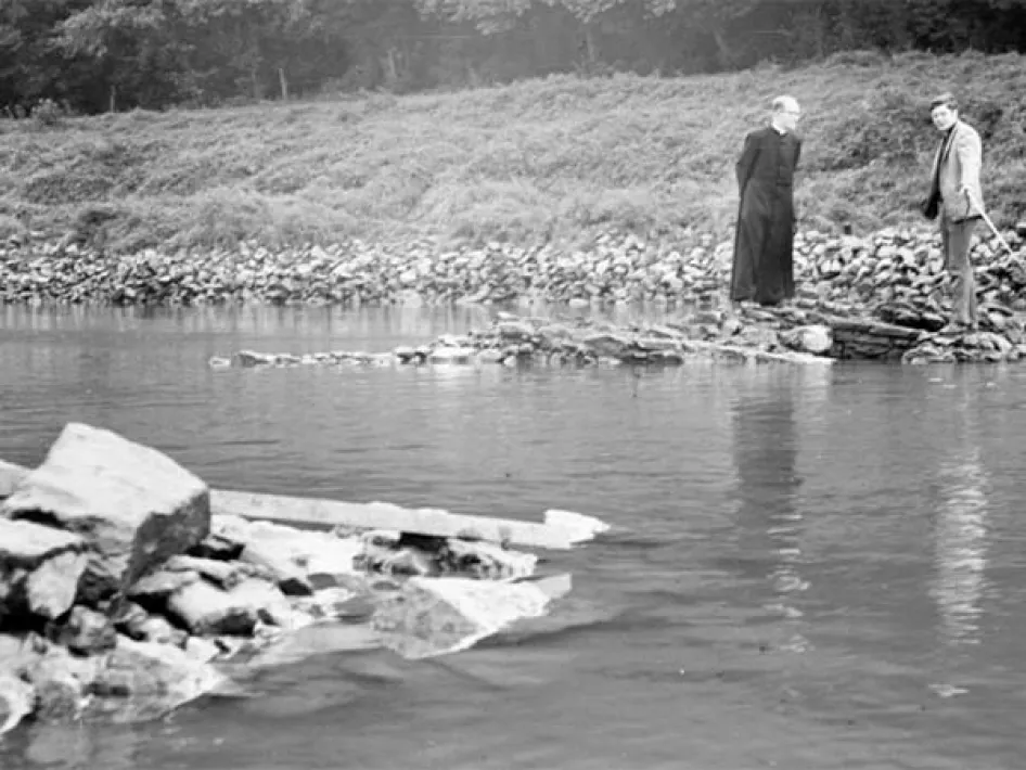
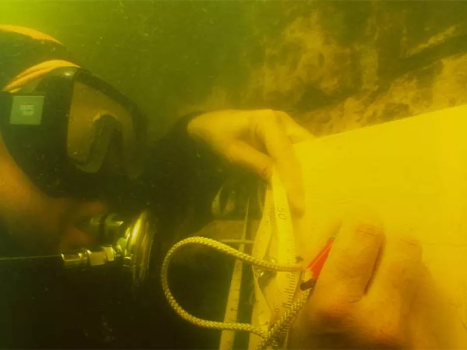
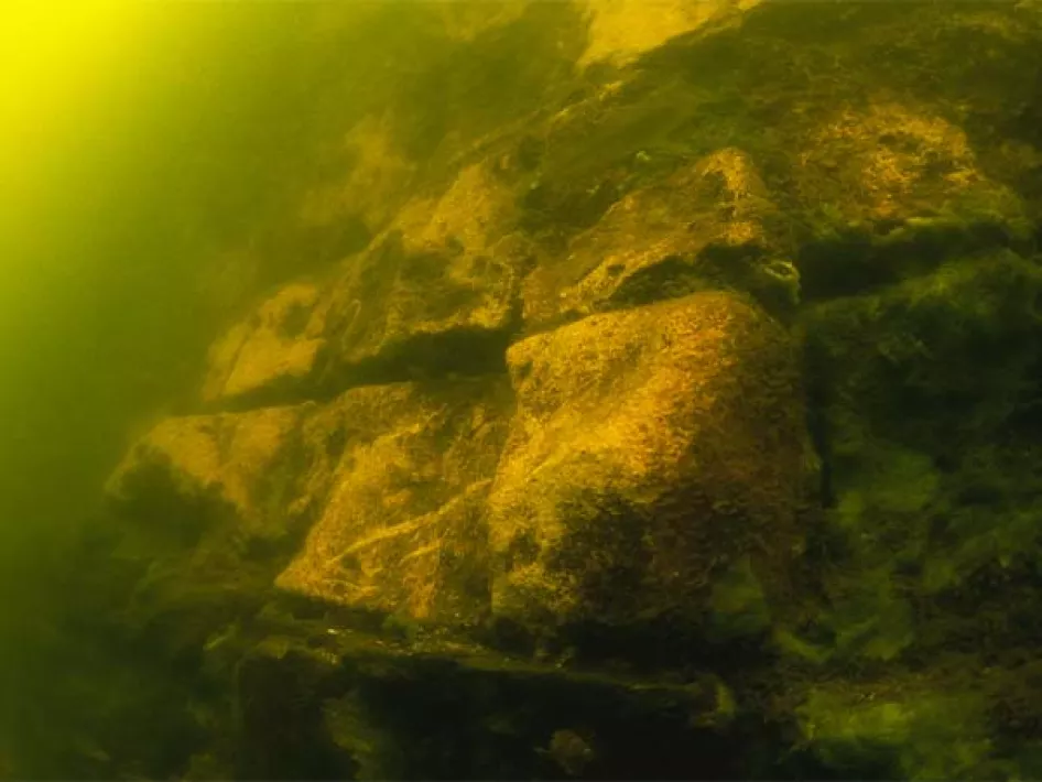
Here in Elsloo, a complete medieval castle has been swallowed by the Meuse. At extremely low water levels you can still see some building blocks. That also happened in 1969 and amateur archaeologist Father Munsters managed to document a few things.
The castle dates from the 12th to 16th century. In 1329 the noble lords of Elsoo ruled here from their square residential tower. It's a strategic place here near the water. And not only to fend off enemies but also to collect tolls for passing ships. Fishing and hunting rights brought in even more income. The only enemy they don't have in sight is the Maas itself. It first flowed past Maasmechelen, but shifts its course, causing the bend between Kotem and Meers to erode further and further.
In the 15th century, the castle of Elsloo is threatened by the rising water. And it gets worse; in 1576 the 'Alde Huys or derelict Hall, as it was known, is burnt down by Guelders troops. The castle is being restored and enlarged. In the 17th century, probably again ravaged by new floods, the exercise is really over; the castle is abandoned.
In 2004, archaeologists from the Maaswerken carried out acoustic soil research to locate building remains. What the castle actually looked like is unknown, but scientists think that the first building resembles the castle of Kessel and Valkenburg.
PLEASE NOTE: The location is near the resting place for cyclists and the information board of Rivierpark Maasvallei.
TIP: This location is part of Ode-aan-de-Maas
Find also other Archeo Route Limburg locations


