During the Saalian glaciation period, the ice age before last, a massive ice sheet 300 metres thick extended over much of the Netherlands. Glaciers pushed huge volumes of sand, boulder clay and erratic rock forward, carving out valleys and driving up soil layers in gorges by sheer weight to form ridges sometimes 200 metres tall.
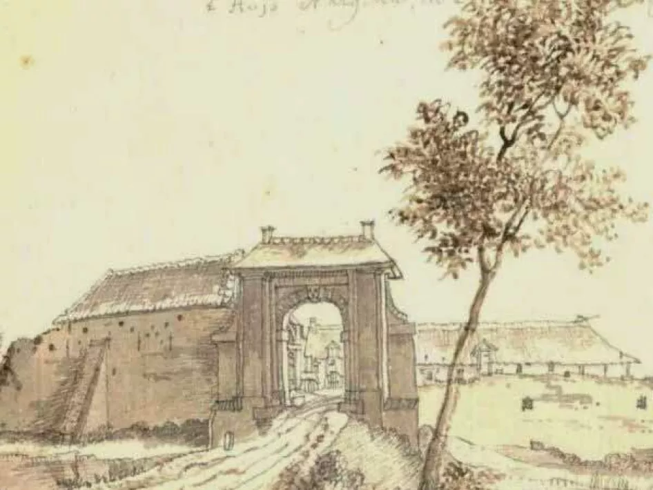
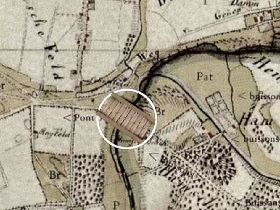
Here at Lob van Gennep, a ridge forced the Rhine to turn west and to flow into the Maas. Maas and Rhine found a new riverbed across the proglacial sandplain draining into a mesh of fluvial gullies. Metres of massive deposits blocked the rivers, constantly forcing them to change course and create a new riverbed. The River Niers follows the course of the fossilized gullies of the Rhine. Later, the plateau at the foot of the proglacial moraine became an Arctic wasteland where meltwater drained into deep gullies and valleys in the warmer months. The relentless winds deposited layers of loess sediment and blew river sand from the high ground towards the Maas dunes. As temperatures rose, marshes and peat moors formed at the foot of the moraine through which the Niers negotiated its winding route. Originally, human habitation was only possible along the high ridges and Maas dunes. In later periods, towns and villages, monasteries and castles (Herrnsitze) were built along the Niers. The almost vanished Nergena and Hamm castles once stood here. Until the First World War, a bridge crossed where the Niers marks the Dutch-German frontier: a vital link for merchants and pilgrims, for farmers and soldiers. Seventeenth- and eighteenth-century maps show the bridge as a wooden structure over the Niers. Ottersum, then a separate town, was authorized to charge a toll: a major source of revenue for a community impoverished by war and foreign occupation.
Hamsebrugweg, the old sideroad off Kleefseweg, led to the wooden bridge over the Niers. Although toll rights testify to the bridge’s importance, during the First World War (1914-1918) the bridge was demolished to stop the vibrant smuggling trade.
Ready to explore? Don’t forget to visit Petershuis Museum to see archaeological finds from different periods.
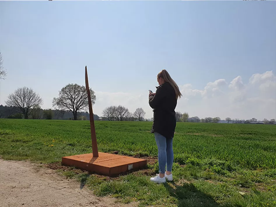
ATTENTION: The spear is at the entrance to the Hamsebrugweg. At the junction of the Kleefseweg and the Hamsebrugweg.
Tourist information
Museum Het Petershuis
Niersstraat 2, 6591 CB Gennep
For opening times see www.museumpetershuis.nl


