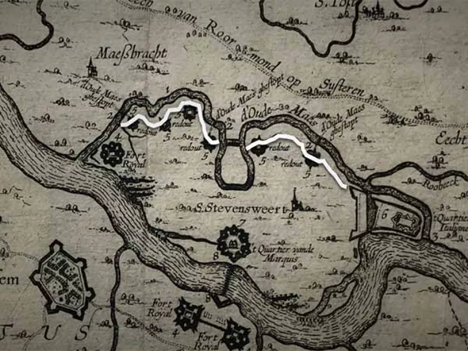
The Spanish fort of St Stevensweert used to be surrounded by a defensive wall. This was the so-called circumvallation line, a line of defence similar to the fortifications defending the towns of Groenlo and Gennep. In fact, these structures are unusual in the Netherlands.
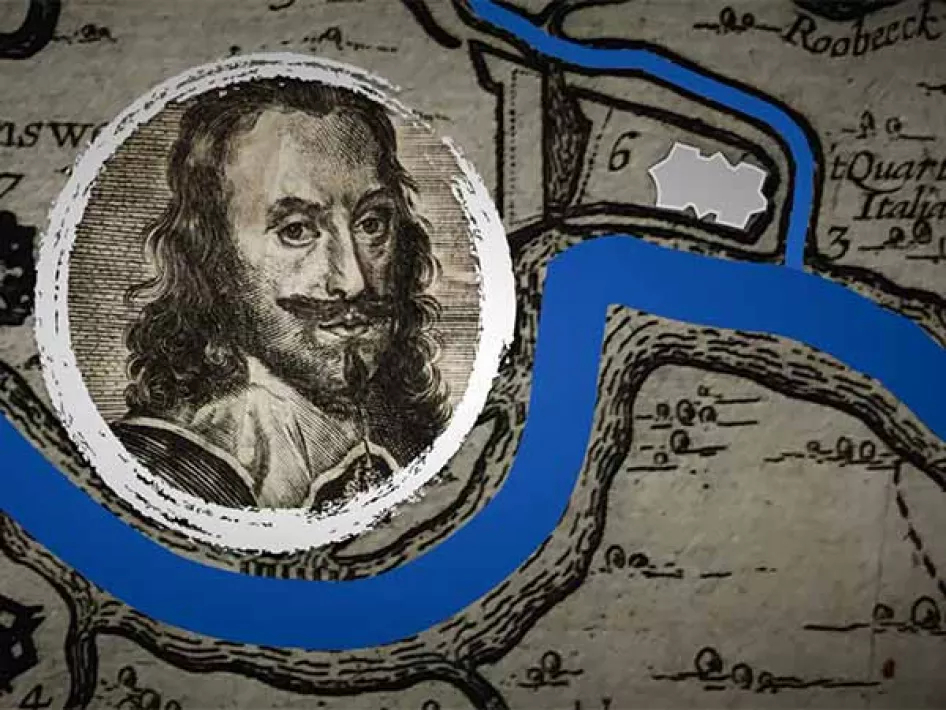
It was Don Francisco de Moncada who established the fort in 1633, between the Old and New Maas. The purpose of the fort was to prevent access to the Dutch Republic’s stronghold of Maastricht along the Maas. Fort Cantelmo was located at the bifurcation of the Old and New Maas, on the south of the island in the Maas, around 5 kilometres from Stevensweert, near Roosteren. The fort, known as the Italian Quarter, was under the command of an Italian general, Don Andreas Cantelmo, in the service of Spain. Alongside the fort, a series of poles made navigation on the Maas impossible. In 1702, Dutch Republican troops belonging to the army of the Republic of the Seven United Netherlands, captured Stevensweert fort from its Spanish defenders and so Fort Cantelmo also fell into Dutch hands.
All but one of the forts in the Stevensweert line have disappeared. Only the outline of Fort Cantelmo still protrudes from the landscape. A path linking Stevensweert and Fort Cantelmo, which ran along the Soldiers Way still exists. The old Fort Cantelmo also left other traces down to the present day, although perhaps not in a physical sense. In the long, dark sweltering nights of summer, small dancing flames could occasionally be seen on the plain. The souls of the soldiers who had died in those years of Spanish domination and could find no peace could be seen hovering over the historic site…
Nowadays, rural Roosteren takes centre stage along the waterfront. Not because of its forts and battlefields, but due to its drinking-water supply. And its natural corridors to prevent floods from occurring such as in 1993 and 1995. These disasters resulted in something good, after all. A new nature preserve came into being; the ‘Rug van Roosteren’ providing over 6.5 million cubic meters of fresh water annually. The preserve with its extraordinary vegetation and species of birds and the largest population of Koniks attracts thousands of walkers and cyclists each year and is nowadays part of the Rivierpark Maasvallei.
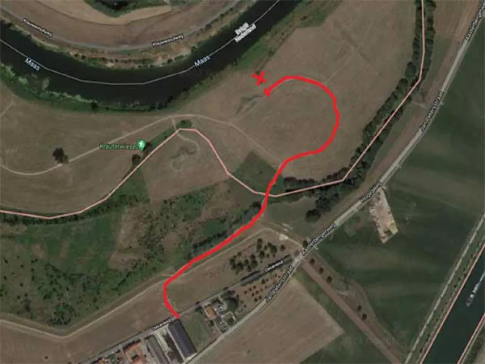
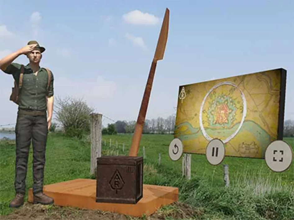
NOTE: For hikers, the spearhead is located between hiking junctions 78 and 90 of the community of Echt/Susteren. Cyclists should take the dirt road between Oevereind 80 and 90. If you walk through the gate and follow the sandy road, you will see the spear at the lake.
Tourist information
Streekmuseum Stevensweert/Ohé en Laak in the former town hall at Jan van Steffenswertplein 1 in Stevensweert.
Would you like to know more about the history of Echt; then go to the Museum van de vrouw
Download the app
You can also visit other Archeo Route Limburg sites.


