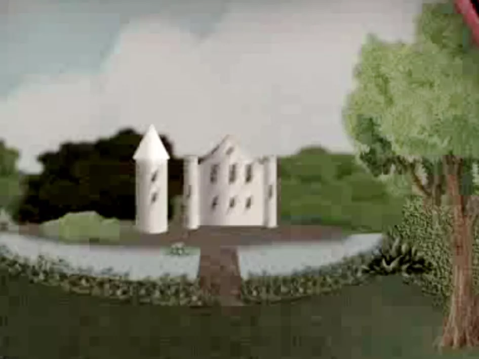
An entire castle swept off the face of the Earth! That is what happened here in Kelpen-Oler where Ensenbroeck castle once stood. The manor dated back to before 1600 A.D. The earliest known resident was a nobleman called Henry Roest (Roost) of Ensenbroeck, whose name is first mentioned in 1550. The farms Voeëres, Hofer and Polderte in the Ensenbroek hamlet belonged to the castle residents and their descendants. Together with the Voorterhof, de Grote en Kleine Port (the Large and Small Gates), Hermanshof and several homes built at a later date, they still make up the hamlet Ensenbroek. Thanks to the detective work in 1847 by priest Franssen van Ittervoort, who was also an amateur archaeologist, we have an impression of the lost castle with its wide access road, main building, tower, dykes, double moat, meadows and vegetable patch. At the time, the modern-day Rhijdtbeek provided the water for the moats surrounding the castle.
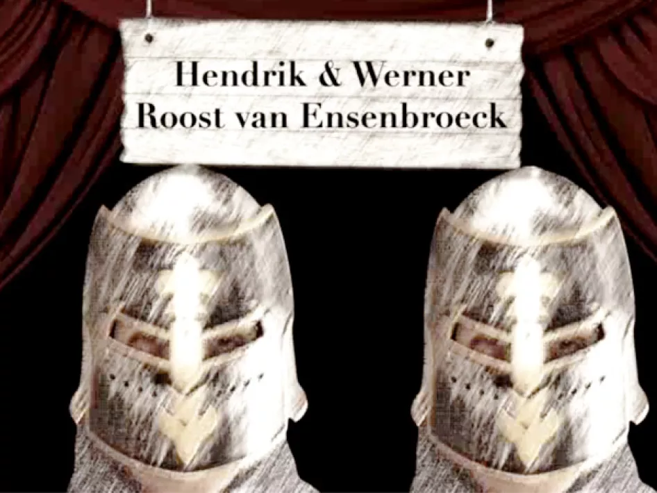
For generations, the Van Ensebroecks determined the ups and down of the region. Not all noblemen behaved in line with their lineage; in the first half of the 18th century the brothers Henry and Werner Roost van Ensenbroeck were known to intimidate, assault and steal as well as being highwaymen. They were feared and went down in history as the last two Limburg and perhaps even Dutch robber barons.
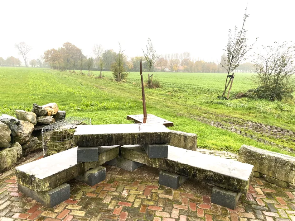
The many trials and subsequent costs resulted in impoverishment and in the end the ruin of the castle. A 37-verse ballad talks about the curse that finally struck the castle and its inhabitants. According to a note in the Registrum Memoriale in the Grathem parish, castle Ensebroeck was demolished in 1779. Years later, the rubble that was left was used to reinforce the bridge over the Panheelderbeek and to pave the road from Kelpen-Oler to Grathem. It wasn’t until 1957 that the castle moats were filled in and the land was levelled to make it suitable for agriculture. With it, the final visible traces disappeared, but the foundations remain just below the surface. A memorial was erected with the remnants that were found.
Download the app
NOTE: The location of the spear is diagonally opposite house number 2a, at the stone resting bench, which is partly built from found building blocks of the castle.
Visit other Archeo route Limburg locations


Archaeological site Kelpen-Oler - Ensenbroeck Castle
Experience on the spot the history of Ensenbroeck Castle. Download the app and come face to face with our archaeologist on location. He tells you about the origin and disappearance of Castle Ensenbroeck through the latest virtual techniques. It is as if you are transforming into the past.
When
Always open.
Contact and location
Archeologische vindplaats Kelpen-Oler - Kasteel Ensenbroeck
Graetheideweg 2a
6037 NN
KELPEN-OLER
archeoroutelimburg